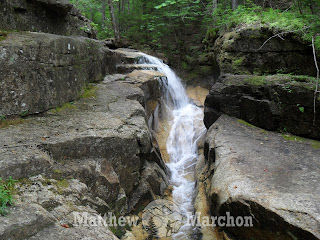
Today I finally got an early enough start to tackle Georgiana Falls and beyond, or so I thought. I grabbed a couple waffles on my way past the continental breakfast and ate them while walking to the trailhead just up the road. Turns out waffles aren't so good dry and syrup-less. But I hurried up the trail, running in parts, and made it to Georgiana Falls in half an hour. That steep section after the lower falls really kicks my ass.
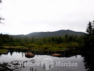
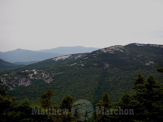
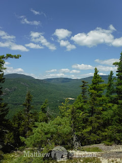
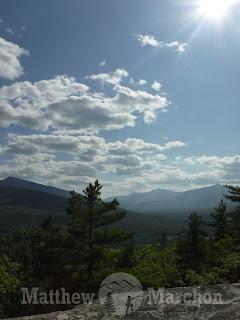
From there I continued on to the upper falls, a far cry from the last time I was here after a few inches of rain back on the 4th of July. I came across an unofficial trail I hadn't noticed before but didn't have time to follow it across the river. Instead I carried on past all the falls I'd remembered seeing on previous visits and then cutting into the woods to pick up the snowmobile trail. The trail quickly brought me to the edge of Bog Eddy where I got some magnificent views of the Kinsmans and Franconia Ridge. I was blown away but unfortunately my battery died while taking pictures. I continued on but ran out of time, knowing I had to get back to the hotel before checkout time.
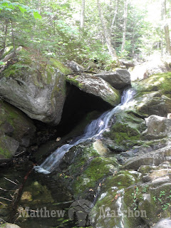
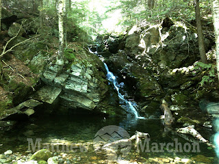
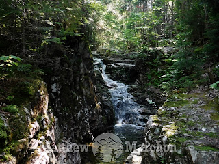
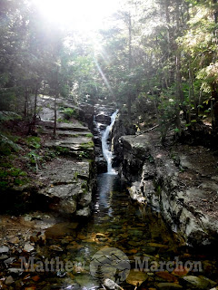
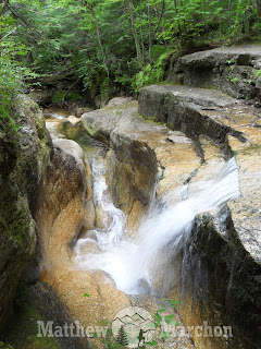
I had to go back to Stark Falls to get some measurements and explore the area a little more for the book. The brook was running pretty low today which made measuring easier, as well as rock hopping upstream. Last time I stopped pretty early on but today I went a bit further and am glad I did, there are some amazing waterfalls up there.
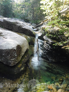
Just as I got to a really nice cascade falling into an emerald green pool, the battery on my backup camera died as well so it was time to turn around. I did manage to capture a couple pictures with my phone and gps though. I even stumbled upon an old trail or logging road which made my return trip a little easier. But just a little, it was quite overgrown.
I was starving by this point, as was Jaime, so we headed into town for lunch where we got some McDonalds and GH Pizza and ate it at Boise Rock overlooking the Cannon Cliffs. I had a Big Mac and fries and gyro, that was one hell of a lunch. From there I went up the Lafayette Brook a short ways to check out the old road there for my waterfall book but decided not to go all the way out to the falls again. I probably should have for exact measurements but I was running short on time. So we headed on over to Crawford Notch while my cameras charged. While writing my chapter on the Avalon Falls I realized I needed measurements and wanted to explore up a little higher. Jaime accompanied me for part of this one. She stopped at the brook and read while I continued on.
Let me tell you, standing at the top of a waterfall, trying to get my tape measure to go all the way down through the rushing water is not easy. Neither is getting it to come back up for that matter. And wouldn't you know they all turned out to be the same height. I never mind seeing the Fall Of Avalon though.
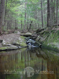
I carried on upstream this time where there were a number of smaller falls, some of which were absolutely gorgeous. The pools were so clear I could see the rocks at the bottom, some even had a greenish hue to them which was truly stunning. At the trail crossing I decided to call it quits and made my way back down, actually using the trail for once.
To be quite honest, I was ready to be done, running up and down mountains the past three days has my body feeling a bit sore. It's been a month since I've done any hiking. We stopped in Gorham on our way home but weren't hungry yet so we just picked up a gyro for a friend and headed on back. We picked up some Pizza Hut in Bangor and ate it all, starving by the time we got home a little after 10:00, which is rather early for us. Boy am I glad I have tomorrow to recuperate because I am limping like crazy and my legs are shredded to hell from all this bushwhacking. Worth every second of it.
Follow me as I hike to the craziest places, rediscover long lost trails, bushwhack where no trails exist, scale some cliffs, conquer rock slides and even explore a few caves along the way. Follow me as we leave the world below.
Wednesday, August 30, 2017
Tuesday, August 29, 2017
BLOG - Exploring Waterville Valley
I planned on getting up early today and doing Georgiana Falls before Jaime woke up. I might have slept a little too late for that to happen so no Georgiana Falls. I enjoyed my continental breakfast; chocolate chip waffles, a bagel and coffee. Then we headed down to Waterville Valley. I bushwhacked up Bald Knob using a couple steep logging roads and some herd paths. I don't know how in the hell moose fit between those trees, I barely fit. Maybe that's why there's moose poop everywhere, they get it squeezed out of them. After a long and difficult ascent, I finally made it to the summit for incredible 360 degree views with Welch Dickey stealing the show.
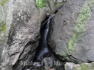
Next we wanted to check out a trail-less cascade nearby known as Shell Cascade, which required fording a river. We tried rock hopping it at first but Jaime fell in so we went back to the car, got the water shoes and waded across. What we thought would be a cross country ski trail on the other side turned out to be an abandoned ski trail, the saplings were so thick you couldn't see through them. Jaime stopped once we hit the brook while I bushwhacked along the hard to follow road. Before long I arrived at Shell Cascade which was way better than I'd anticipated. This one is crazy.
I crossed the brook and got some cool pictures from the other side of the narrow flume before heading back through the thick saplings. We spotted another brook down the road but the area around it was eroded in the rain storm back in early July and was a little too unstable to explore right now, plus there wasn't much water so I'll save that one for later.
Then we drove up the Sandwich Notch Road which had some beautiful views and wasn't too bad, for the most part, despite being a steep and narrow dirt road. A truck or jeep really would have come in handy here. Then we went down an even steeper side road to Hall Pond where I bushwhacked to a sort of nearby waterfall. There wasn't much water flowing but this thing is huge. Today there wasn't enough water on the upper half to be anything special but the lower fifteen feet were absolutely beautiful. This entire area has a rugged and wild feel miles and miles from civilization.
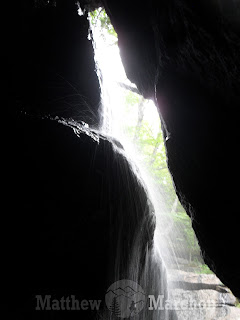
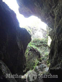
Around the waterfall were tons of talus caves with water flowing through them. The enormous cliff towered above me as I crawled through the broken ledges to get into a cave beside the waterfall. It was a little iffy in parts but I made it in without any trouble and got some pictures of the cascade from inside the cave, getting a little wet in the process. Well worth it.
Not having eaten in nine hours, we stopped at Black Mountain Burger on our way back. It was delicious as ever and well earned. My shower tonight was extremely painful, I have so many cuts on my arms and legs that I can't feel the difference between them, my extremities just burn all over. Walking hurts too but I don't mind. We'll see how I'm feeling tomorrow because I got a lot to do.
Monday, August 28, 2017
BLOG - Three Hikes in Gilead, Shelburne & North Woodstock
We headed out this morning for another three day weekend in the White Mountains, well, our version of a weekend which begins on Monday. Along the way we made a couple stops for my upcoming The White Mountains You Haven't Seen book. Our first stop was in Gilead Maine right along the NH border where we followed a trail for a short ways before I bushwhacked up to a large ledge we've seen from the road many times.
On my way down I checked out some talus caves along a broken ledge. Nothing too big or anything I'd really consider a cave but they did involve some climbing and crawling through small spaces.
From there we drove along a dirt road in Shelburne NH which was a pleasant surprise because I figured we'd be walking the 1.5 mile approach to the bushwhack up a summit known as Stevens Point. Despite the shorter route, the ascent was difficult through old logging cuts but it brought me to a spectacular view that made the cuts, the buckets of sweat and bee sting all worth it.
We ate at Gorham Pizza on our way by which was delicious, we got a gyro and a steak and cheese sub to share. We booked a room at the Rodeway Inn through booking.com a week or so ago and were a little worried because we've never done online booking before but it worked out perfectly and so much cheaper. I took off right away to follow a logging road beside Pike Brook in search of waterfalls I could add to my Moose Falls chapter in the almost complete The White Mountains You Haven't Seen: Waterfall Edition. I wasn't expecting to find anything but I did find some nice ledges and waterslides I think I'm going to call the Pike Pools, they were fantastic and are definitely worth checking out even in low water like right now.
I jogged back along the logging road and followed an unmarked trail beside Moosilauke Brook in search of more cascades or water caves to add to my Lower Lost River chapter. Again, not actually expecting anything, I was pleasantly surprised to find some truly amazing rock ledges, smoothed out into slides, chutes and deep basins that the water rushes through. I see why this is a popular swimming hole, it is absolutely beautiful. The rock formations are incredible. Lower Lost River had originally been cut from the book but may need to find its way back in with today's discovery.
Tuesday, August 15, 2017
The Acadia You Haven't Seen
It's official, The Acadia You Haven't Seen is now available!
For color copies ($14.99) go to www.matthewmarchon.weebly.com
For the E-Book ($2.99) and Black & White versions ($14.99) go to Amazon
More than two years in the making. Over 50 destinations. Abandoned trails. Forgotten places. This is the Acadia you never knew existed. Many of these locations have never been so much as mentioned anywhere online. This is the trail guide to trails that don't technically exist.
Best View - McFarland Mountain
With views of Eagle Lake, Somes Sound, Frenchman Bay, Cadillac Mountain, Pemetic Mountain, The Bubbles, Sargent Mountain plus the western summits as well as the mountains of the mainland, I'd have to give best overall view to the former ski slopes of McFarland Mountain.
Best Waterfall - Railway River Falls
For a place not known for its waterfalls, there are actually a stunning number of them located in Acadia, you just have to know where and when to look. The Railway River is hands down the most impressive due to the sheer number of cascades. The upper fractured staircase falls are probably the best found in this book but it's a very close call.
Best Cave - Day Mountain Cave
There are some fascinating caves in Acadia, even more to come in Volume 2, so picking the best isn't easy. However, as the only true cave not formed by boulders, the 30 foot long tunnel is hands down the most impressive. Get your flashlights ready for this one.
Best Trail - Great Cave Cliff Trail
We're following a lot of abandoned trails in this book, some are simple paths through the woods, others are stunning masterpieces of nature at its finest. A number of them standout but when it comes to the most stunning path in the book, it has to be the Great Cave Cliff Trail. With a giant cave, a stone stairway, a hanging boulder, a boulder cave on the side of a cliff and to top it all off a suspended stone bridge, this one is perhaps just a hair better than the White Path.
Most Haunted - Devil's Oven
We've explored some creepy places in this book, the Jesuit Spring area, Compass Harbor, the Arches, the Stone Tower, but it's the Devil's Oven that feels the most unnerving. Whether it's the number of humans tortured and sacrificed here, the mysterious lights and fog or the whole being a portal to the underworld aspect, something about this area is very unsettling. Sometimes it even feels like the cliffs themselves are watching you.
Most Dangerous - Sand Beach Sea Cave
Most of the hikes in this book are safe and fun for the whole family, most. There are a few that may very well make your stomach turn. In perhaps the most dangerous route, we walk along the top of a fifty foot sheer cliff, then climb down it beneath a precarious boulder, followed by a slippery seaweed covered talus field and into a sea cave all while racing the clock because low tide is necessary to visit this one. The South Wall and Meadow Brook Sea Cave are close contenders and can be even worse depending how far you're willing to go.
Subscribe to:
Posts (Atom)
